By car and parking
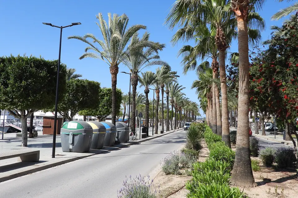
- 2 car parks within 1 km
OpenStreetMap lists 2 car parks within 1 km of the beach. The nearest is about one minute’s walk away (rough estimate, ignoring slopes). The fees of the others are not recorded.
Cove · Sant Josep de sa Talaia
Also known as platges de Comte · Cala Conta · Platges de Comte
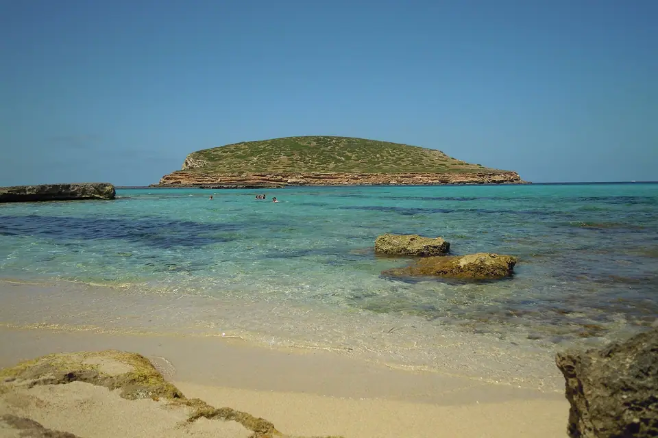
A golden-sand cove about 120 m long in Sant Josep de sa Talaia, isolated and with calm water. It has sunbeds, water-sports rental, toilets, showers, a beach bar and a lifeguard post marked on OpenStreetMap; dogs are not allowed.
OpenStreetMap lists 2 car parks within 1 km of the beach. The nearest is about one minute’s walk away (rough estimate, ignoring slopes). The fees of the others are not recorded.
Since April 2026 Ibiza’s buses have been run by ALSA. Lines whose names mention beaches in this area: A13 Es Cubells - Sant Josep, A14 Cala Bassa - Cala Tarida - Sant Josep, A15 Sant Josep - Cala Vedella, A7 Ibiza - Sant Jordi - Ses Salines, P3 Ibiza - Platja d’en Bossa - Ses Salines y P9 Cala Tarida - Sant Josep - Sant Jordi - Ibiza. Stops are not published with coordinates: check alsaibiza.es for the nearest stop and the timetable, which changes in winter.
Minutes from the nearest car park according to the OpenStreetMap map (rough estimate, ignoring slopes).
You can also get here by sea, with these trips from our directory:
Some links are affiliate links: if you book, we may earn a commission at no cost to you. How affiliate links work
Average values for Ibiza (NOAA OISST, 1991-2020 climatology), not measured at this spot.
Trips and activities from our directory that include or stop at Cala Comte. Each listing takes you to book on the platform you prefer.
About 3 hours from Sant Antoni harbour with snorkelling or paddle-boarding at two coves and a visit to a sea cave.
Six hours by catamaran from Sant Antoni along the west-coast coves, with snorkelling, paddle boarding and lunch on board.
Two and a half hours by kayak from Cala Codolar to visit two sea caves, with snorkel stops and a beach break at Cala Conta.
Four hours along the west coast to circle Es Vedrà and Es Vedranell, with a swim stop in a cove and finger food on board.
Where it is and which coves lie around it.
As the crow flies, nearest first.
More about Sant Josep de sa TalaiaArea: Sant Josep de sa TalaiaAll coves and beaches
OpenStreetMap lists 2 car parks within 1 km of the beach. The nearest is about one minute’s walk away (rough estimate, ignoring slopes). The fees of the others are not recorded. About one minute on foot · Easy path. Minutes from the nearest car park according to the OpenStreetMap map (rough estimate, ignoring slopes).
Since April 2026 Ibiza’s buses have been run by ALSA. Lines whose names mention beaches in this area: A13 Es Cubells - Sant Josep, A14 Cala Bassa - Cala Tarida - Sant Josep, A15 Sant Josep - Cala Vedella, A7 Ibiza - Sant Jordi - Ses Salines, P3 Ibiza - Platja d’en Bossa - Ses Salines y P9 Cala Tarida - Sant Josep - Sant Jordi - Ibiza. Stops are not published with coordinates: check alsaibiza.es for the nearest stop and the timetable, which changes in winter.
Lifeguard post.
Beach bar, Sunbeds and parasols, Showers, Toilets, Equipment hire.
No dogs.
Our own text, based on these sources consulted on 2026-10-25. Dates, opening times and bus lines change: check them before you go.